Uwchben Penygraig / Above Penygraig
Introduction
The photograph on this page of Uwchben Penygraig / Above Penygraig by Alan Richards as part of the Geograph project.
The Geograph project started in 2005 with the aim of publishing, organising and preserving representative images for every square kilometre of Great Britain, Ireland and the Isle of Man.

There are currently over 7.5m images from over 14,400 individuals and you can help contribute to the project by visiting https://www.geograph.org.uk
Uwchben Penygraig / Above Penygraig
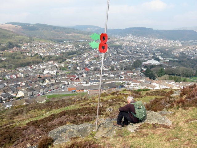
Image: © Alan Richards Taken: 7 Apr 2019
Ar lethrau Mynydd Dinas yn edrych i lawr ar Benygraig. On the slopes of Mynydd Dinas (trans. fort [or having the appearance of] mountain) overlooking Penygraig (trans. top of the rock).
Images are licensed for reuse under creativecommons.org/licenses/by-sa/2.0
Image Location
Latitude
51.612291
Longitude
-3.442132