West end of Manor Park, Kingswinford
Introduction
The photograph on this page of West end of Manor Park, Kingswinford by Richard Vince as part of the Geograph project.
The Geograph project started in 2005 with the aim of publishing, organising and preserving representative images for every square kilometre of Great Britain, Ireland and the Isle of Man.

There are currently over 7.5m images from over 14,400 individuals and you can help contribute to the project by visiting https://www.geograph.org.uk
West end of Manor Park, Kingswinford
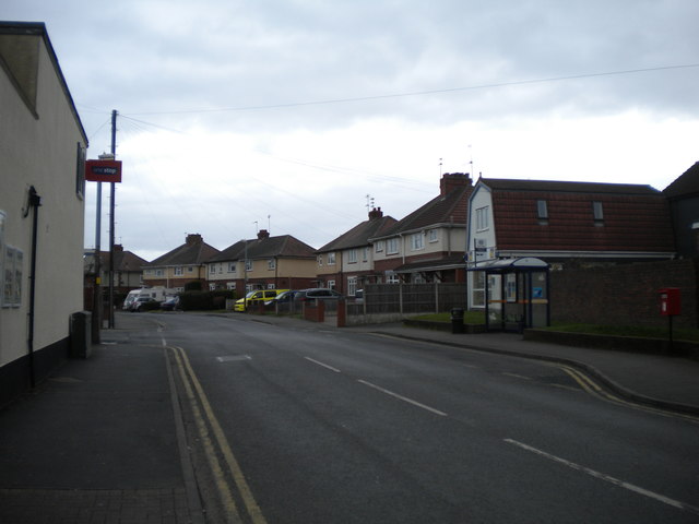
Image: © Richard Vince Taken: 2 Mar 2019
Used for buses terminating in Kingswinford, Manor Park forms a 90 degree crescent between Market Street and High Street, around the back of the shops, and thus can be used as a terminus by buses approaching from any direction. In the past, several buses terminated here, meaning there was often a bus laying over in the layby. However, when I visited only routes 5 and 657 terminated here, as most routes now go through Kingswinford on their way to somewhere else.
Images are licensed for reuse under creativecommons.org/licenses/by-sa/2.0
Image Location
Latitude
52.495908
Longitude
-2.16743