The Lamb Inn, Angmering
Introduction
The photograph on this page of The Lamb Inn, Angmering by Peter Holmes as part of the Geograph project.
The Geograph project started in 2005 with the aim of publishing, organising and preserving representative images for every square kilometre of Great Britain, Ireland and the Isle of Man.

There are currently over 7.5m images from over 14,400 individuals and you can help contribute to the project by visiting https://www.geograph.org.uk
The Lamb Inn, Angmering
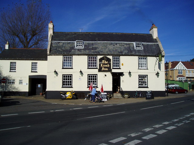
Image: © Peter Holmes Taken: 12 Nov 2007
A Grade II Listed building, dating back to the 18th century. In the 19th century a room by the archway to the stables was used as the village mortuary. www.angmeringvillage.co.uk/history/Lamb.htm
Images are licensed for reuse under creativecommons.org/licenses/by-sa/2.0
Image Location
Latitude
50.829375
Longitude
-0.484196