Old Ardda Leat
Introduction
The photograph on this page of Old Ardda Leat by Jonathan Wilkins as part of the Geograph project.
The Geograph project started in 2005 with the aim of publishing, organising and preserving representative images for every square kilometre of Great Britain, Ireland and the Isle of Man.

There are currently over 7.5m images from over 14,400 individuals and you can help contribute to the project by visiting https://www.geograph.org.uk
Old Ardda Leat
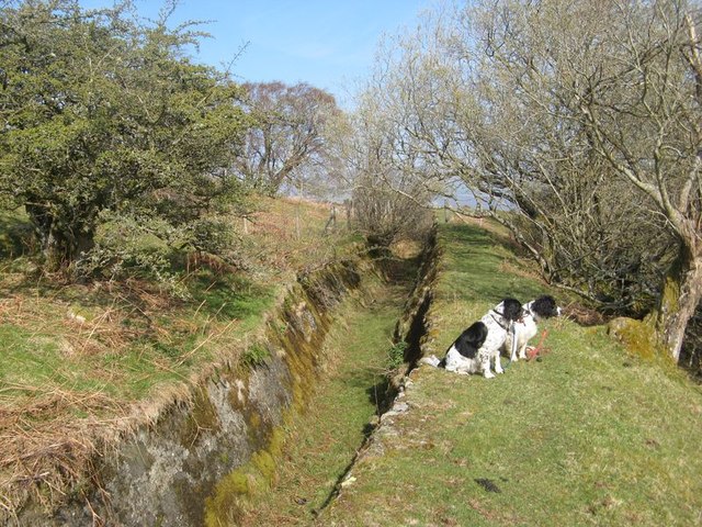
Image: © Jonathan Wilkins Taken: 6 Apr 2019
The original leat from the Afon Ddu ran just above the 1000 ft contour to penstocks (see Image) above the Dolgarrog Incline. This section is nominally dry today and some lengths of it are well preserved, showing its concrete lining, which is not continuous. This length became disused when the new high-head pipeline by-passed it in 1936. Much of the length from here south-westwards has been filled-in and grassed over.
Images are licensed for reuse under creativecommons.org/licenses/by-sa/2.0
Image Location
Latitude
53.182334
Longitude
-3.847294