King Edward Terrace, Rhymney
Introduction
The photograph on this page of King Edward Terrace, Rhymney by Jaggery as part of the Geograph project.
The Geograph project started in 2005 with the aim of publishing, organising and preserving representative images for every square kilometre of Great Britain, Ireland and the Isle of Man.

There are currently over 7.5m images from over 14,400 individuals and you can help contribute to the project by visiting https://www.geograph.org.uk
King Edward Terrace, Rhymney
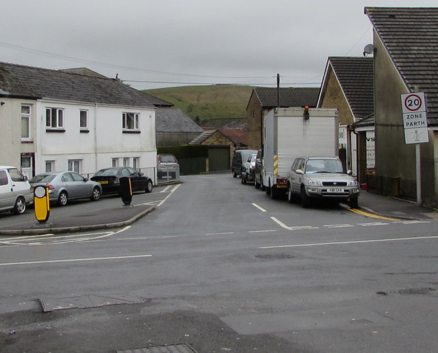
Image: © Jaggery Taken: 5 Apr 2019
Looking west along King Edward Terrace across the B4257 from Kings Avenue. The 30mph speed limit drops to 20 on the approach to Upper Rhymney Primary School. https://www.geograph.org.uk/photo/3939923
Images are licensed for reuse under creativecommons.org/licenses/by-sa/2.0
Image Location
Latitude
51.765847
Longitude
-3.289498