Waste ground on a Rhymney corner
Introduction
The photograph on this page of Waste ground on a Rhymney corner by Jaggery as part of the Geograph project.
The Geograph project started in 2005 with the aim of publishing, organising and preserving representative images for every square kilometre of Great Britain, Ireland and the Isle of Man.

There are currently over 7.5m images from over 14,400 individuals and you can help contribute to the project by visiting https://www.geograph.org.uk
Waste ground on a Rhymney corner
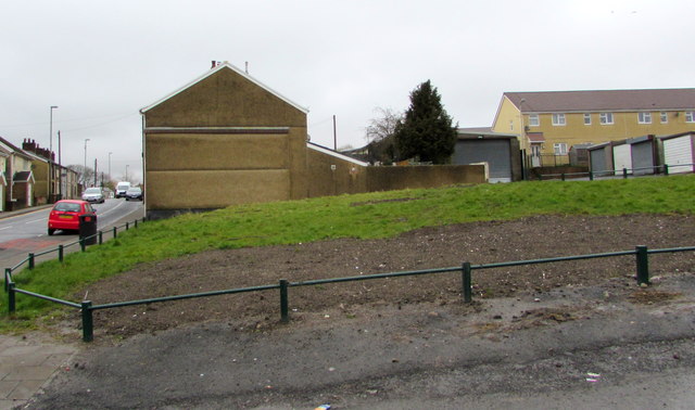
Image: © Jaggery Taken: 5 Apr 2019
On the corner of Kings Avenue and the B4257 Upper High Street viewed in April 2019. The railings preventing vehicles parking here are not in a July 2016 Google Street View.
Images are licensed for reuse under creativecommons.org/licenses/by-sa/2.0
Image Location
Latitude
51.766035
Longitude
-3.288779