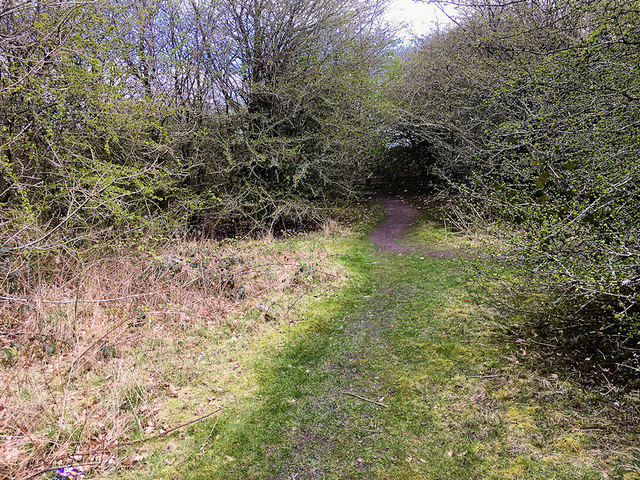
Path through the Burgies (Burgy Bank)
Introduction
The photograph on this page of Path through the Burgies (Burgy Bank) by David Dixon as part of the Geograph project.
The Geograph project started in 2005 with the aim of publishing, organising and preserving representative images for every square kilometre of Great Britain, Ireland and the Isle of Man.
There are currently over 7.5m images from over 14,400 individuals and you can help contribute to the project by visiting https://www.geograph.org.uk

Image: © David Dixon Taken: 31 Mar 2019
The Burgies (or Burgy Bank) is a set of two slag heaps on the site of the old Rushy Park coal mine. They were created by the dumping of toxic chemical waste from the manufacture of glass by the town’s Pilkington Company. Technically, the land is private property belonging to Pilkington but the public has access. Although it is a chemical dumping ground, the soil placed on the top has allowed the area to be covered in woodland and grass. This environment has provided a pleasant woodland area for the local people and is a favourite dog walking area. https://en.wikipedia.org/wiki/The_Burgies (Wikipedia for more detail)

