St John?s parish boundary marker
Introduction
The photograph on this page of St John?s parish boundary marker by Karen Turner as part of the Geograph project.
The Geograph project started in 2005 with the aim of publishing, organising and preserving representative images for every square kilometre of Great Britain, Ireland and the Isle of Man.

There are currently over 7.5m images from over 14,400 individuals and you can help contribute to the project by visiting https://www.geograph.org.uk
St John?s parish boundary marker
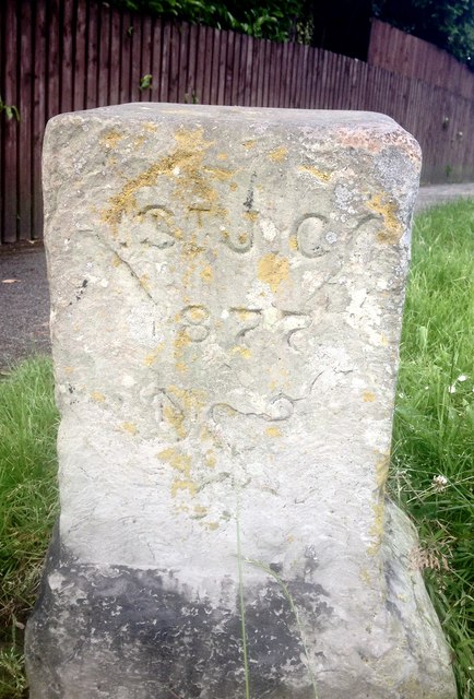
Image: © Karen Turner Taken: 2 Jul 2016
At the top of Mickley Lane where it joins Baslow Road, Totley
Images are licensed for reuse under creativecommons.org/licenses/by-sa/2.0
Image Location
Latitude
53.315726
Longitude
-1.531959