Burgy Pond
Introduction
The photograph on this page of Burgy Pond by David Dixon as part of the Geograph project.
The Geograph project started in 2005 with the aim of publishing, organising and preserving representative images for every square kilometre of Great Britain, Ireland and the Isle of Man.

There are currently over 7.5m images from over 14,400 individuals and you can help contribute to the project by visiting https://www.geograph.org.uk
Burgy Pond
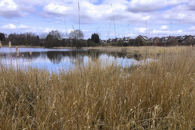
Image: © David Dixon Taken: 31 Mar 2019
This small lake is on the north side of the Burgies (Image]) near the meeting of Hinckley Road, Laffak Road and Chain Lane, often referred to as the "Burgy Pond", surrounded by an area of flat land sometimes referred to as the "Corn Field" due the long grass which grows here.
Images are licensed for reuse under creativecommons.org/licenses/by-sa/2.0
Image Location
Latitude
53.468846
Longitude
-2.716414