Park Street and Moat Lane, Digbeth, Birmingham
Introduction
The photograph on this page of Park Street and Moat Lane, Digbeth, Birmingham by Jonathan Billinger as part of the Geograph project.
The Geograph project started in 2005 with the aim of publishing, organising and preserving representative images for every square kilometre of Great Britain, Ireland and the Isle of Man.

There are currently over 7.5m images from over 14,400 individuals and you can help contribute to the project by visiting https://www.geograph.org.uk
Park Street and Moat Lane, Digbeth, Birmingham
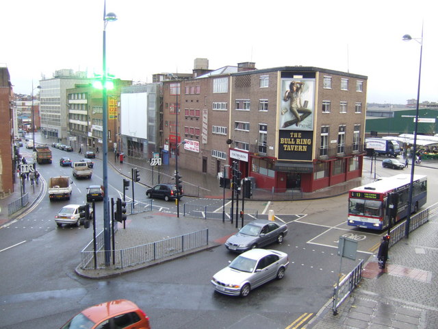
Image: © Jonathan Billinger Taken: 9 Nov 2007
Viewed from the Selfridges building at the Bullring. The green building on the far right is the Birmingham market building.
Images are licensed for reuse under creativecommons.org/licenses/by-sa/2.0
Image Location


Leaflet Map data © OpenStreetMap
Latitude
52.47674
Longitude
-1.892625