Lane below Twyn Garwa
Introduction
The photograph on this page of Lane below Twyn Garwa by M J Roscoe as part of the Geograph project.
The Geograph project started in 2005 with the aim of publishing, organising and preserving representative images for every square kilometre of Great Britain, Ireland and the Isle of Man.

There are currently over 7.5m images from over 14,400 individuals and you can help contribute to the project by visiting https://www.geograph.org.uk
Lane below Twyn Garwa
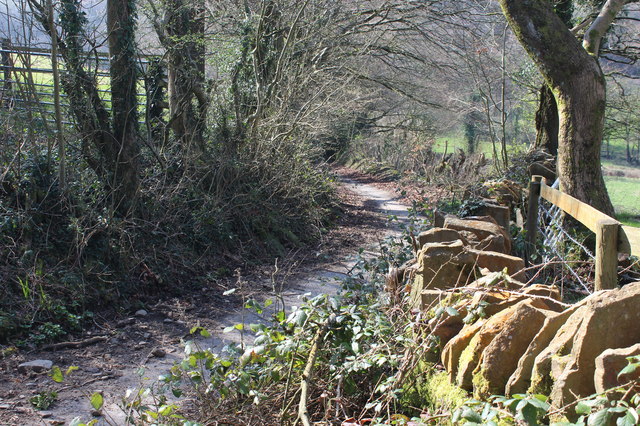
Image: © M J Roscoe Taken: 28 Mar 2019
This narrow lane is closed to vehicles, but is part of the Rhymney Valley Ridgeway Walk, which has ascended from near Cwm Farm.
Images are licensed for reuse under creativecommons.org/licenses/by-sa/2.0
Image Location
Latitude
51.562573
Longitude
-3.236707