Ruined former farm buildings at Ty Canol
Introduction
The photograph on this page of Ruined former farm buildings at Ty Canol by Eric Jones as part of the Geograph project.
The Geograph project started in 2005 with the aim of publishing, organising and preserving representative images for every square kilometre of Great Britain, Ireland and the Isle of Man.

There are currently over 7.5m images from over 14,400 individuals and you can help contribute to the project by visiting https://www.geograph.org.uk
Ruined former farm buildings at Ty Canol
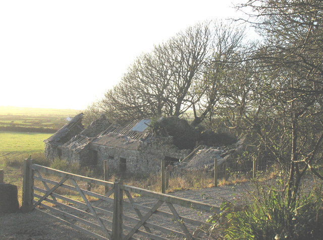
Image: © Eric Jones Taken: 9 Nov 2007
Ty Canol is a former small holding. With land amalgamation the farm buildings became redundant. Image
Images are licensed for reuse under creativecommons.org/licenses/by-sa/2.0
Image Location
Latitude
52.81811
Longitude
-4.641986