Exit to Stoneyford Road
Introduction
The photograph on this page of Exit to Stoneyford Road by Alan Walker as part of the Geograph project.
The Geograph project started in 2005 with the aim of publishing, organising and preserving representative images for every square kilometre of Great Britain, Ireland and the Isle of Man.

There are currently over 7.5m images from over 14,400 individuals and you can help contribute to the project by visiting https://www.geograph.org.uk
Exit to Stoneyford Road
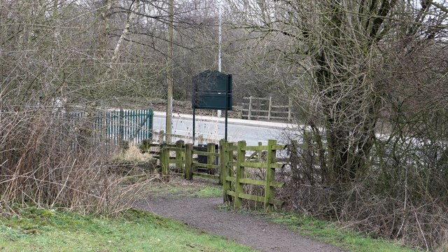
Image: © Alan Walker Taken: 11 Mar 2018
The photograph shows the exit from Brierley Forest Park onto Image The road runs between Stanton Hill, to the left and Sutton-in-Ashfield, to the right. It was near this point that the Midland Railway's Skegby Colliery Branch terminated, as can be seen from this OS map dated 1892-14 from the National Library of Scotland https://maps.nls.uk/geo/explore/side-by-side/#zoom=17&lat=53.1390&lon=-1.2720&layers=168&right=osm .
Images are licensed for reuse under creativecommons.org/licenses/by-sa/2.0
Image Location
Latitude
53.13889
Longitude
-1.272714