Pasture and housing on Nurton Hill, Staffordshire
Introduction
The photograph on this page of Pasture and housing on Nurton Hill, Staffordshire by Roger Kidd as part of the Geograph project.
The Geograph project started in 2005 with the aim of publishing, organising and preserving representative images for every square kilometre of Great Britain, Ireland and the Isle of Man.

There are currently over 7.5m images from over 14,400 individuals and you can help contribute to the project by visiting https://www.geograph.org.uk
Pasture and housing on Nurton Hill, Staffordshire
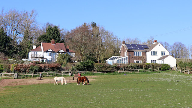
Image: © Roger Kidd Taken: 29 Mar 2019
Looking north from Wolverhampton Road.
Images are licensed for reuse under creativecommons.org/licenses/by-sa/2.0
Image Location
Latitude
52.593573
Longitude
-2.24988