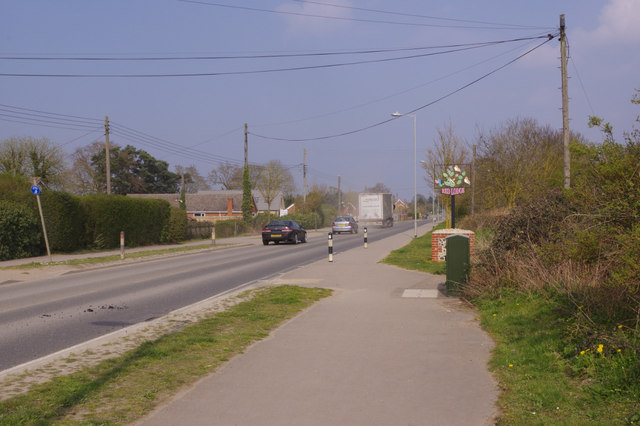
Turnpike Road, Red Lodge
Introduction
The photograph on this page of Turnpike Road, Red Lodge by Stephen McKay as part of the Geograph project.
The Geograph project started in 2005 with the aim of publishing, organising and preserving representative images for every square kilometre of Great Britain, Ireland and the Isle of Man.
There are currently over 7.5m images from over 14,400 individuals and you can help contribute to the project by visiting https://www.geograph.org.uk

Image: © Stephen McKay Taken: 30 Mar 2019
There is something vaguely American about Red Lodge with its dead straight dusty road, scattered modern buildings and roadside diners. The effect is heightened by the presence in the area of many actual Americans who work at nearby RAF Lakenheath and live 'off base'. This was formerly the A11 but is now designated the B1085 since the village was by-passed.

