New Mains of Ury, Stonehaven
Introduction
The photograph on this page of New Mains of Ury, Stonehaven by Stanley Howe as part of the Geograph project.
The Geograph project started in 2005 with the aim of publishing, organising and preserving representative images for every square kilometre of Great Britain, Ireland and the Isle of Man.

There are currently over 7.5m images from over 14,400 individuals and you can help contribute to the project by visiting https://www.geograph.org.uk
New Mains of Ury, Stonehaven
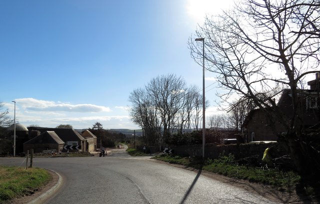
Image: © Stanley Howe Taken: 29 Mar 2019
Dog-leg bend in B979; new dwellings development ahead, entrance to Ury Estate on right.
Images are licensed for reuse under creativecommons.org/licenses/by-sa/2.0
Image Location
Latitude
56.97852
Longitude
-2.213852