Farmland off Brawby Lane
Introduction
The photograph on this page of Farmland off Brawby Lane by Gordon Hatton as part of the Geograph project.
The Geograph project started in 2005 with the aim of publishing, organising and preserving representative images for every square kilometre of Great Britain, Ireland and the Isle of Man.

There are currently over 7.5m images from over 14,400 individuals and you can help contribute to the project by visiting https://www.geograph.org.uk
Farmland off Brawby Lane
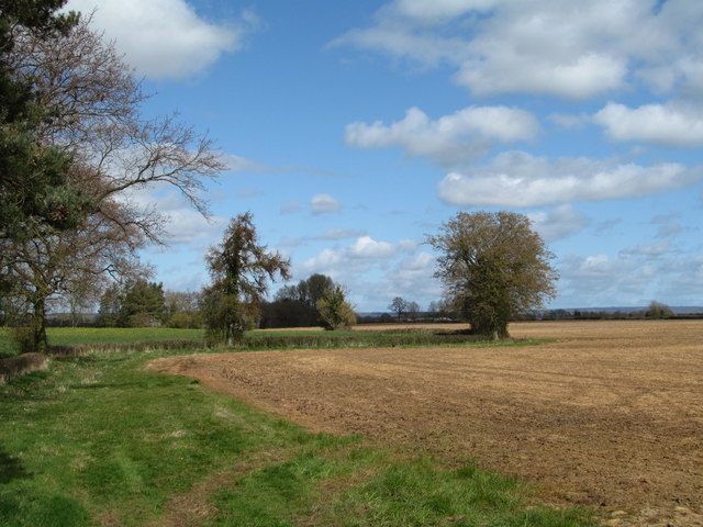
Image: © Gordon Hatton Taken: 31 Mar 2019
Typical scene in the flat country of the Vale of Pickering where there are relatively few contour lines. Distant outline of the Tabular Hills on the horizon.
Images are licensed for reuse under creativecommons.org/licenses/by-sa/2.0
Image Location
Latitude
54.19924
Longitude
-0.893688