Nurton Brook east of Pattingham in Staffordshire
Introduction
The photograph on this page of Nurton Brook east of Pattingham in Staffordshire by Roger Kidd as part of the Geograph project.
The Geograph project started in 2005 with the aim of publishing, organising and preserving representative images for every square kilometre of Great Britain, Ireland and the Isle of Man.

There are currently over 7.5m images from over 14,400 individuals and you can help contribute to the project by visiting https://www.geograph.org.uk
Nurton Brook east of Pattingham in Staffordshire
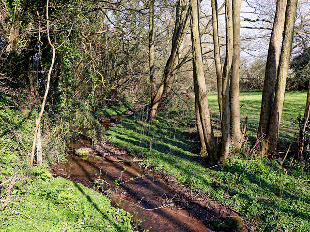
Image: © Roger Kidd Taken: 29 Mar 2019
Looking upstream towards Nurton. A very pleasant and secluded public footpath through pasture and woodland crosses the stream on a footbridge here. Nurton Brook flows south (towards the camera), joins Black Brook, which in turn flows into Smestow Brook, then the River Stour, and the River Severn near Stourport. This image shows the brook after a period of unusually warm dry spring weather.
Images are licensed for reuse under creativecommons.org/licenses/by-sa/2.0
Image Location
Latitude
52.588014
Longitude
-2.242616