Aberkenfig Bridgend Road
Introduction
The photograph on this page of Aberkenfig Bridgend Road by Colin Prosser as part of the Geograph project.
The Geograph project started in 2005 with the aim of publishing, organising and preserving representative images for every square kilometre of Great Britain, Ireland and the Isle of Man.

There are currently over 7.5m images from over 14,400 individuals and you can help contribute to the project by visiting https://www.geograph.org.uk
Aberkenfig Bridgend Road
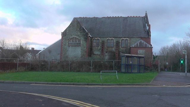
Image: © Colin Prosser Taken: 18 Jan 2015
Carey chapel Aberkenfig January 18th 2015 just few months before demolition.
Images are licensed for reuse under creativecommons.org/licenses/by-sa/2.0
Image Location
Latitude
51.542202
Longitude
-3.597965