Bramhope sighting tower
Introduction
The photograph on this page of Bramhope sighting tower by Stephen Craven as part of the Geograph project.
The Geograph project started in 2005 with the aim of publishing, organising and preserving representative images for every square kilometre of Great Britain, Ireland and the Isle of Man.

There are currently over 7.5m images from over 14,400 individuals and you can help contribute to the project by visiting https://www.geograph.org.uk
Bramhope sighting tower
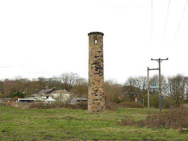
Image: © Stephen Craven Taken: 31 Mar 2019
This view shows the surveying slits lined up, meaning that the camera location must be above the centreline of the tunnel. One of two such structures built in 1845 to aid the setting out of the twenty constructions shafts along the line of the tunnel, this is the only one that remains and is listed grade II (list entry 1253379). See Image for a side view from the road.
Images are licensed for reuse under creativecommons.org/licenses/by-sa/2.0
Image Location
Latitude
53.878203
Longitude
-1.62532