Field near Orbliston
Introduction
The photograph on this page of Field near Orbliston by Anne Burgess as part of the Geograph project.
The Geograph project started in 2005 with the aim of publishing, organising and preserving representative images for every square kilometre of Great Britain, Ireland and the Isle of Man.

There are currently over 7.5m images from over 14,400 individuals and you can help contribute to the project by visiting https://www.geograph.org.uk
Field near Orbliston
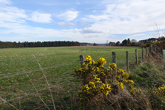
Image: © Anne Burgess Taken: 27 Mar 2019
Following the former Highland Railway, one reaches a fence here and the trackbed become indistinct. It joined the main line at Orbliston Junction, which was roughly among the distant trees towards the right in this view.
Images are licensed for reuse under creativecommons.org/licenses/by-sa/2.0
Image Location


Leaflet Map data © OpenStreetMap
Latitude
57.609941
Longitude
-3.16533