BRISTOL Eastville Park Methodist Church
Introduction
The photograph on this page of BRISTOL Eastville Park Methodist Church by ChurchCrawler as part of the Geograph project.
The Geograph project started in 2005 with the aim of publishing, organising and preserving representative images for every square kilometre of Great Britain, Ireland and the Isle of Man.

There are currently over 7.5m images from over 14,400 individuals and you can help contribute to the project by visiting https://www.geograph.org.uk
BRISTOL Eastville Park Methodist Church
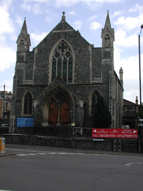
Image: © ChurchCrawler Taken: 23 May 2004
Originally built as a United Free Methodist Chapel, it is now a Pentecostal church. More history on http://www.churchcrawler.pwp.blueyonder.co.uk/bristol3/ufrmeth.htm
Images are licensed for reuse under creativecommons.org/licenses/by-sa/2.0
Image Location


Leaflet Map data © OpenStreetMap
Latitude
51.473537
Longitude
-2.557149