New Byway
Introduction
The photograph on this page of New Byway by Glyn Baker as part of the Geograph project.
The Geograph project started in 2005 with the aim of publishing, organising and preserving representative images for every square kilometre of Great Britain, Ireland and the Isle of Man.

There are currently over 7.5m images from over 14,400 individuals and you can help contribute to the project by visiting https://www.geograph.org.uk
New Byway
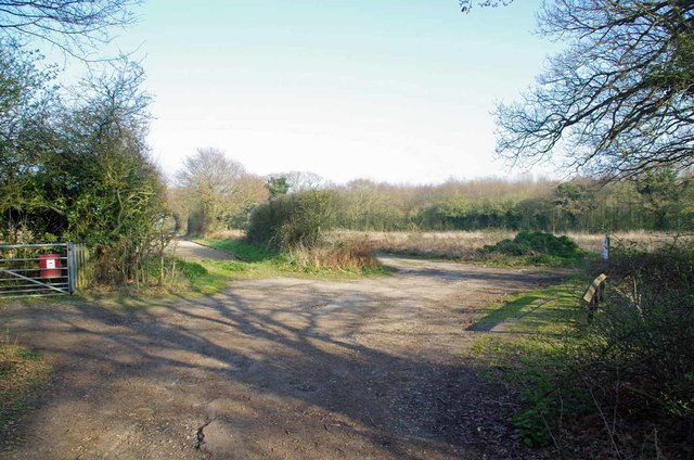
Image: © Glyn Baker Taken: 29 Mar 2019
I have deep reservations about the motivation behind the Image upgrading these paths (158_34 & 158_36) from public footpaths to restricted byway status. If the council wanted to allow cycling an upgrade to bridleway would be fine, I suspect this maybe to give access to a development site, (cynical.... me?!). Image crosses from left to right.
Images are licensed for reuse under creativecommons.org/licenses/by-sa/2.0
Image Location
Latitude
51.898886
Longitude
0.970549