Footpath to Bottesford
Introduction
The photograph on this page of Footpath to Bottesford by Jonathan Thacker as part of the Geograph project.
The Geograph project started in 2005 with the aim of publishing, organising and preserving representative images for every square kilometre of Great Britain, Ireland and the Isle of Man.

There are currently over 7.5m images from over 14,400 individuals and you can help contribute to the project by visiting https://www.geograph.org.uk
Footpath to Bottesford
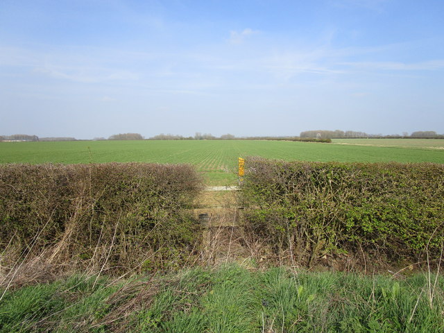
Image: © Jonathan Thacker Taken: 30 Mar 2019
The path begins with a somewhat overgrown stile. The path beyond it is through a cultivated field. However, just to the right of this picture is a wide farm gate which leads directly to a wide uncultivated but maintained field edge. A diversion of the footpath to the field edge would probably please both farmer and walker.
Images are licensed for reuse under creativecommons.org/licenses/by-sa/2.0
Image Location
Latitude
52.920866
Longitude
-0.838637