Hallowshean Farm View
Introduction
The photograph on this page of Hallowshean Farm View by Mary and Angus Hogg as part of the Geograph project.
The Geograph project started in 2005 with the aim of publishing, organising and preserving representative images for every square kilometre of Great Britain, Ireland and the Isle of Man.

There are currently over 7.5m images from over 14,400 individuals and you can help contribute to the project by visiting https://www.geograph.org.uk
Hallowshean Farm View
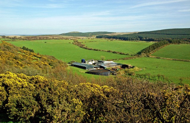
Image: © Mary and Angus Hogg Taken: 28 Mar 2019
Hallowshean Farm viewed from Hollowshean Iron Age fort in the next square, looking towards Craigdow Hill in the distance.
Images are licensed for reuse under creativecommons.org/licenses/by-sa/2.0
Image Location


Leaflet Map data © OpenStreetMap
Latitude
55.316248
Longitude
-4.766385