Whitesfield
Introduction
The photograph on this page of Whitesfield by Rob Farrow as part of the Geograph project.
The Geograph project started in 2005 with the aim of publishing, organising and preserving representative images for every square kilometre of Great Britain, Ireland and the Isle of Man.

There are currently over 7.5m images from over 14,400 individuals and you can help contribute to the project by visiting https://www.geograph.org.uk
Whitesfield
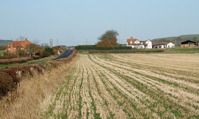
Image: © Rob Farrow Taken: 6 Nov 2007
The white farm on the right is Whitesfield Farm (see Image]) while the redbrick building on the left is Whitesfield Farm Cottages (see Image]).
Images are licensed for reuse under creativecommons.org/licenses/by-sa/2.0
Image Location


Leaflet Map data © OpenStreetMap
Latitude
51.856961
Longitude
-0.87029