New Housing Development (Richards Castle)
Introduction
The photograph on this page of New Housing Development (Richards Castle) by Fabian Musto as part of the Geograph project.
The Geograph project started in 2005 with the aim of publishing, organising and preserving representative images for every square kilometre of Great Britain, Ireland and the Isle of Man.

There are currently over 7.5m images from over 14,400 individuals and you can help contribute to the project by visiting https://www.geograph.org.uk
New Housing Development (Richards Castle)
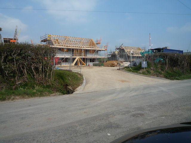
Image: © Fabian Musto Taken: 30 Mar 2019
The new housing development being constructed by Border Oak Design Offices is still in progress since I last visited on Good Friday 2018. However, this year (2019), more houses have been added, and here they are, being constructed.
Images are licensed for reuse under creativecommons.org/licenses/by-sa/2.0
Image Location
Latitude
52.323585
Longitude
-2.745011