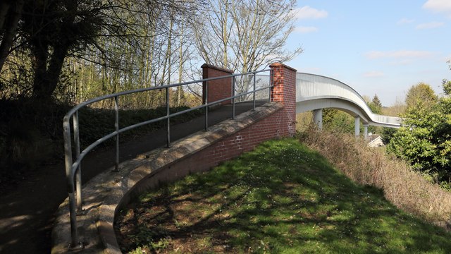
Footbridge over the A617
Introduction
The photograph on this page of Footbridge over the A617 by Alan Walker as part of the Geograph project.
The Geograph project started in 2005 with the aim of publishing, organising and preserving representative images for every square kilometre of Great Britain, Ireland and the Isle of Man.
There are currently over 7.5m images from over 14,400 individuals and you can help contribute to the project by visiting https://www.geograph.org.uk

Image: © Alan Walker Taken: 28 Mar 2019
The photograph shows the southerly access ramp onto the bridge over the A617 from Church Lane. Until the dual carriageway was constructed the A617 ran through Pleasley Village on what is still called Chesterfield Road. The construction of this new road separated the village from its Parish Church, hence the need for the bridge. An OS map dated 1937-61 from the National Library of Scotland https://maps.nls.uk/geo/explore/side-by-side/#zoom=16&lat=53.1746&lon=-1.2471&layers=10&right=osm shows the earlier route of the A617 and the position of the footbridge over the dual carriageway. *** See also these photographs by, David Dixon:- Image, Ian S:- Image, Ian S:- Image and Jonathan Thacker:- Image

