Durham Wynd, Lower Largo
Introduction
The photograph on this page of Durham Wynd, Lower Largo by Bill Kasman as part of the Geograph project.
The Geograph project started in 2005 with the aim of publishing, organising and preserving representative images for every square kilometre of Great Britain, Ireland and the Isle of Man.

There are currently over 7.5m images from over 14,400 individuals and you can help contribute to the project by visiting https://www.geograph.org.uk
Durham Wynd, Lower Largo
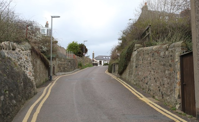
Image: © Bill Kasman Taken: 29 Mar 2019
The path from the rough car park in this image Image crosses Durham Wynd (at the first lamp post). This path can be considered as part of the Fife Coastal Path which follows the line of the old Fife Coast Railway. See Lower Largo article https://www.geograph.org.uk/article/Lower-Largo-and-the-Serpentine-Walk
Images are licensed for reuse under creativecommons.org/licenses/by-sa/2.0
Image Location
Latitude
56.21315
Longitude
-2.936536