Road to Leworthy
Introduction
The photograph on this page of Road to Leworthy by David Smith as part of the Geograph project.
The Geograph project started in 2005 with the aim of publishing, organising and preserving representative images for every square kilometre of Great Britain, Ireland and the Isle of Man.

There are currently over 7.5m images from over 14,400 individuals and you can help contribute to the project by visiting https://www.geograph.org.uk
Road to Leworthy
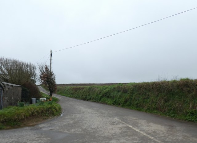
Image: © David Smith Taken: 21 Mar 2019
The field on the right is bounded by a substantial bank, possibly associated with reclaiming the marshland around here
Images are licensed for reuse under creativecommons.org/licenses/by-sa/2.0
Image Location
Latitude
50.952458
Longitude
-4.348634