Church Lees Farmhouse
Introduction
The photograph on this page of Church Lees Farmhouse by Bob Harvey as part of the Geograph project.
The Geograph project started in 2005 with the aim of publishing, organising and preserving representative images for every square kilometre of Great Britain, Ireland and the Isle of Man.

There are currently over 7.5m images from over 14,400 individuals and you can help contribute to the project by visiting https://www.geograph.org.uk
Church Lees Farmhouse
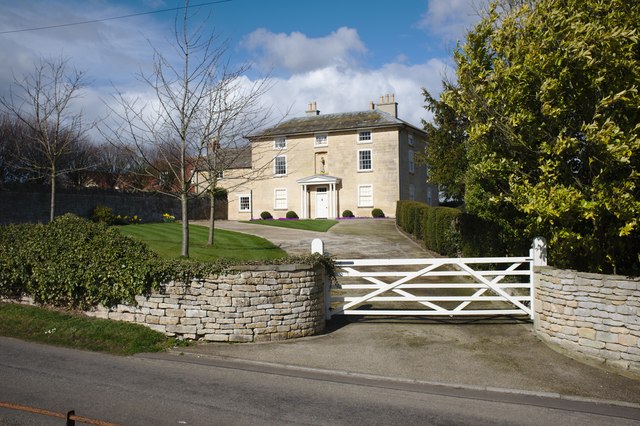
Image: © Bob Harvey Taken: 17 Mar 2019
A grade II listed building, originating in the 17th century but with obvious signs of a Georgian rebuild. See https://historicengland.org.uk/listing/the-list/list-entry/1360325 , which suggests the building might once have been a Rectory. See Image for the statue over the door
Images are licensed for reuse under creativecommons.org/licenses/by-sa/2.0
Image Location
Latitude
52.944492
Longitude
-0.499876