Former quarry at Cardross
Introduction
The photograph on this page of Former quarry at Cardross by Lairich Rig as part of the Geograph project.
The Geograph project started in 2005 with the aim of publishing, organising and preserving representative images for every square kilometre of Great Britain, Ireland and the Isle of Man.

There are currently over 7.5m images from over 14,400 individuals and you can help contribute to the project by visiting https://www.geograph.org.uk
Former quarry at Cardross
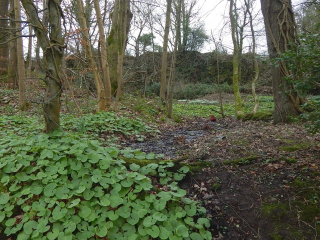
Image: © Lairich Rig Taken: 22 Feb 2019
The view is from Darleith Road. The first-edition OS map (surveyed in 1860) shows an "old quarry" here, that is, one that was already disused.
Images are licensed for reuse under creativecommons.org/licenses/by-sa/2.0
Image Location
Latitude
55.969156
Longitude
-4.658643