Direction Sign - Signpost at Lowertown
Introduction
The photograph on this page of Direction Sign - Signpost at Lowertown by Milestone Society as part of the Geograph project.
The Geograph project started in 2005 with the aim of publishing, organising and preserving representative images for every square kilometre of Great Britain, Ireland and the Isle of Man.

There are currently over 7.5m images from over 14,400 individuals and you can help contribute to the project by visiting https://www.geograph.org.uk
Direction Sign - Signpost at Lowertown
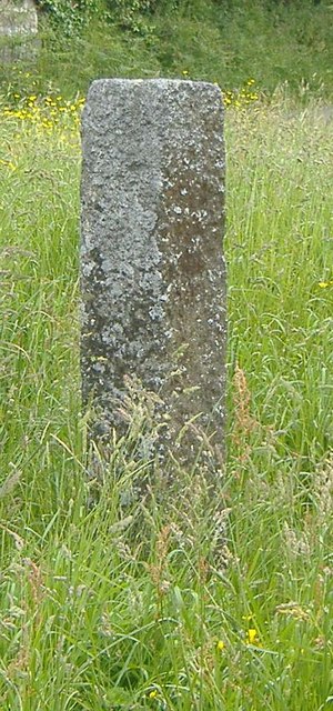
Image: © Milestone Society Taken: Unknown
No finial - no arms; by the UC road, in parish of Luxulyan (Restormel District), junction near Lowertown, on grassy triangle near pedestal letter box. To be surveyed Milestone Society National ID: CW_SX0561
Images are licensed for reuse under creativecommons.org/licenses/by-sa/2.0
Image Location


Leaflet Map data © OpenStreetMap
Latitude
50.41887
Longitude
-4.7429