St Helens, Sutton Park
Introduction
The photograph on this page of St Helens, Sutton Park by David Dixon as part of the Geograph project.
The Geograph project started in 2005 with the aim of publishing, organising and preserving representative images for every square kilometre of Great Britain, Ireland and the Isle of Man.

There are currently over 7.5m images from over 14,400 individuals and you can help contribute to the project by visiting https://www.geograph.org.uk
St Helens, Sutton Park
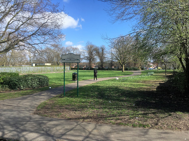
Image: © David Dixon Taken: 24 Mar 2019
Sutton Park is situated between Robins Lane, Marshalls Cross Road and Marina Avenue and is the oldest public park in Sutton. More information about the park and its history can be found at https://www.suttonbeauty.org.uk/beauty/suttonpark/
Images are licensed for reuse under creativecommons.org/licenses/by-sa/2.0
Image Location
Latitude
53.435187
Longitude
-2.723224