Approaching Landkey
Introduction
The photograph on this page of Approaching Landkey by Stephen McKay as part of the Geograph project.
The Geograph project started in 2005 with the aim of publishing, organising and preserving representative images for every square kilometre of Great Britain, Ireland and the Isle of Man.

There are currently over 7.5m images from over 14,400 individuals and you can help contribute to the project by visiting https://www.geograph.org.uk
Approaching Landkey
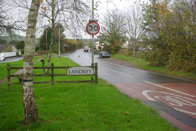
Image: © Stephen McKay Taken: 8 Nov 2007
Landkey is a fairly large village just outside Barnstaple, although confusingly this end of it is called Swimbridge Newland. Until the A361 North Devon Link was built, this was the main route into North Devon, a long tedious drive from Taunton through a series of small villages and towns.
Images are licensed for reuse under creativecommons.org/licenses/by-sa/2.0
Image Location
Latitude
51.059771
Longitude
-3.99457