Dismantled railway line Eastrington
Introduction
The photograph on this page of Dismantled railway line Eastrington by Martin Dawes as part of the Geograph project.
The Geograph project started in 2005 with the aim of publishing, organising and preserving representative images for every square kilometre of Great Britain, Ireland and the Isle of Man.

There are currently over 7.5m images from over 14,400 individuals and you can help contribute to the project by visiting https://www.geograph.org.uk
Dismantled railway line Eastrington
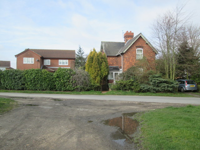
Image: © Martin Dawes Taken: 20 Mar 2019
The Hull and Barnsley line closed 60 years ago, the house on the right over Carr Lane is a former railway property, probably a level crossing keeper's
Images are licensed for reuse under creativecommons.org/licenses/by-sa/2.0
Image Location
Latitude
53.762867
Longitude
-0.791565