In the Hawth, Crawley
Introduction
The photograph on this page of In the Hawth, Crawley by Robin Webster as part of the Geograph project.
The Geograph project started in 2005 with the aim of publishing, organising and preserving representative images for every square kilometre of Great Britain, Ireland and the Isle of Man.

There are currently over 7.5m images from over 14,400 individuals and you can help contribute to the project by visiting https://www.geograph.org.uk
In the Hawth, Crawley
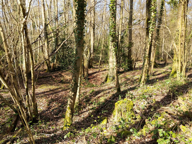
Image: © Robin Webster Taken: 24 Mar 2019
This really is a most remarkable wood, it is closely peppered with a great many minepits to extract iron, of the bell pit type. They are partly filled in now, but still show as pits from one up to around three metres deep, and very closely spaced. As I have found before, it is hard to meaningfully photograph the relief in the almost invariable woodland setting. Presumably the woodland came after the mining and because the tract was ruined for anything else without a great deal of effort.
Images are licensed for reuse under creativecommons.org/licenses/by-sa/2.0
Image Location
Latitude
51.109708
Longitude
-0.177185