Bluecairn
Introduction
The photograph on this page of Bluecairn by Richard Webb as part of the Geograph project.
The Geograph project started in 2005 with the aim of publishing, organising and preserving representative images for every square kilometre of Great Britain, Ireland and the Isle of Man.

There are currently over 7.5m images from over 14,400 individuals and you can help contribute to the project by visiting https://www.geograph.org.uk
Bluecairn
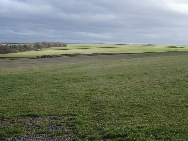
Image: © Richard Webb Taken: 24 Mar 2019
Hilltop pasture now greening up at the start of Spring.
Images are licensed for reuse under creativecommons.org/licenses/by-sa/2.0
Image Location


Leaflet Map data © OpenStreetMap
Latitude
55.672868
Longitude
-2.739303