South side of the Tredegar Arms, Bassaleg
Introduction
The photograph on this page of South side of the Tredegar Arms, Bassaleg by Jaggery as part of the Geograph project.
The Geograph project started in 2005 with the aim of publishing, organising and preserving representative images for every square kilometre of Great Britain, Ireland and the Isle of Man.

There are currently over 7.5m images from over 14,400 individuals and you can help contribute to the project by visiting https://www.geograph.org.uk
South side of the Tredegar Arms, Bassaleg
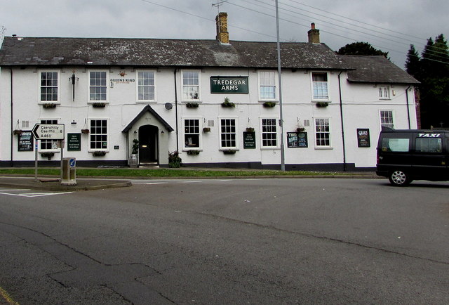
Image: © Jaggery Taken: 19 Mar 2019
Greene King pub on the north side of Caerphilly Road viewed from the corner of Forge Road. The English/Welsh sign on the left show Caerphilly/Caerffili 8 (miles).
Images are licensed for reuse under creativecommons.org/licenses/by-sa/2.0
Image Location
Latitude
51.577565
Longitude
-3.045034