Old Milestone by the A438, Rhydspence, Whitney on Wye parish
Introduction
The photograph on this page of Old Milestone by the A438, Rhydspence, Whitney on Wye parish by R Shackell as part of the Geograph project.
The Geograph project started in 2005 with the aim of publishing, organising and preserving representative images for every square kilometre of Great Britain, Ireland and the Isle of Man.

There are currently over 7.5m images from over 14,400 individuals and you can help contribute to the project by visiting https://www.geograph.org.uk
Old Milestone by the A438, Rhydspence, Whitney on Wye parish
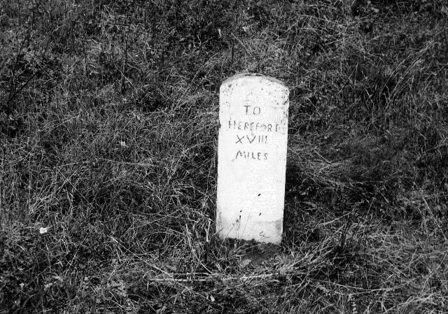
Image: © R Shackell Taken: 31 Jan 2015
Stone post (plate lost) by the A438, in parish of Whitney on Wye (District), Rhydspence, 150m East of village turn. Erected by the Hereford turnpike trust in the 19th century. Inscription reads:- TO HEREFORD XVIII MILES Herefordshire SMR. SMR Number: 56619 https://www.heritagegateway.org.uk/Gateway/Results_Single.aspx?uid=MHE28375&resourceID=101 Milestone Society National ID: HF_HFHY18
Images are licensed for reuse under creativecommons.org/licenses/by-sa/2.0
Image Location
Latitude
52.119979
Longitude
-3.10348