Chapple Tollhouse by Westgate Street, Launceston
Introduction
The photograph on this page of Chapple Tollhouse by Westgate Street, Launceston by Alan Rosevear as part of the Geograph project.
The Geograph project started in 2005 with the aim of publishing, organising and preserving representative images for every square kilometre of Great Britain, Ireland and the Isle of Man.

There are currently over 7.5m images from over 14,400 individuals and you can help contribute to the project by visiting https://www.geograph.org.uk
Chapple Tollhouse by Westgate Street, Launceston
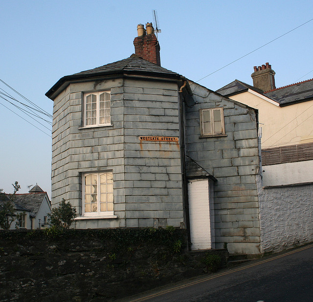
Image: © Alan Rosevear Taken: 19 Feb 2008
Tollhouse by the A388, in the parish of Launceston (North Cornwall District), No. 34, Westgate Street. Cornwall & Scilly HER. HER Number: 176818 https://www.heritagegateway.org.uk/Gateway/Results_Single.aspx?uid=MCO52627&resourceID=1020 Surveyed Milestone Society National ID: CW.LAU02
Images are licensed for reuse under creativecommons.org/licenses/by-sa/2.0
Image Location
Latitude
50.635149
Longitude
-4.363691