Merse ditch
Introduction
The photograph on this page of Merse ditch by James Allan as part of the Geograph project.
The Geograph project started in 2005 with the aim of publishing, organising and preserving representative images for every square kilometre of Great Britain, Ireland and the Isle of Man.

There are currently over 7.5m images from over 14,400 individuals and you can help contribute to the project by visiting https://www.geograph.org.uk
Merse ditch
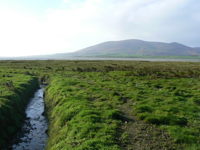
Image: © James Allan Taken: 8 Nov 2007
The Merse is the local name for the boggy marshland here. The mountain in the background is Criffel.
Images are licensed for reuse under creativecommons.org/licenses/by-sa/2.0
Image Location


Leaflet Map data © OpenStreetMap
Latitude
54.976821
Longitude
-3.550326