Old Milestone by the A393, Lanner Moor
Introduction
The photograph on this page of Old Milestone by the A393, Lanner Moor by Milestone Society as part of the Geograph project.
The Geograph project started in 2005 with the aim of publishing, organising and preserving representative images for every square kilometre of Great Britain, Ireland and the Isle of Man.

There are currently over 7.5m images from over 14,400 individuals and you can help contribute to the project by visiting https://www.geograph.org.uk
Old Milestone by the A393, Lanner Moor
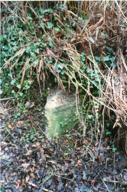
Image: © Milestone Society Taken: Unknown
by the A393, in parish of Lanner (Kerrier District), outside a property named Belmont, Lanner Moor. Possibly lost, but still visible on Streetview in 2014. Inscription reads:- : PENRYN / 6 / FALMOUTH / 8 : : REDRUTH / 2 M : Cornwall & Scilly HER. HER Number: 178494 https://www.heritagegateway.org.uk/Gateway/Results_Single.aspx?uid=MCO54269&resourceID=1020 Milestone Society National ID: CW_PNRR06
Images are licensed for reuse under creativecommons.org/licenses/by-sa/2.0
Image Location
Latitude
50.216128
Longitude
-5.196481