Lane west of Warkleigh
Introduction
The photograph on this page of Lane west of Warkleigh by Stephen McKay as part of the Geograph project.
The Geograph project started in 2005 with the aim of publishing, organising and preserving representative images for every square kilometre of Great Britain, Ireland and the Isle of Man.

There are currently over 7.5m images from over 14,400 individuals and you can help contribute to the project by visiting https://www.geograph.org.uk
Lane west of Warkleigh
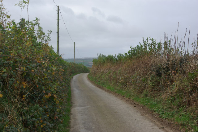
Image: © Stephen McKay Taken: 8 Nov 2007
Typical narrow high-banked Devon lane which drops down steeply from here into the Taw Valley.
Images are licensed for reuse under creativecommons.org/licenses/by-sa/2.0
Image Location
Latitude
50.988716
Longitude
-3.94165