Direction Sign - Signpost by Tanyard Farm, Brookhouse Bottom
Introduction
The photograph on this page of Direction Sign - Signpost by Tanyard Farm, Brookhouse Bottom by Milestone Society as part of the Geograph project.
The Geograph project started in 2005 with the aim of publishing, organising and preserving representative images for every square kilometre of Great Britain, Ireland and the Isle of Man.

There are currently over 7.5m images from over 14,400 individuals and you can help contribute to the project by visiting https://www.geograph.org.uk
Direction Sign - Signpost by Tanyard Farm, Brookhouse Bottom
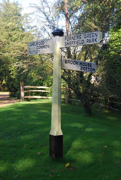
Image: © Milestone Society Taken: Unknown
Black iron cap finial - 3 arms; East Sussex wood by the UC road, in parish of Danehill (Wealden District), Brookhouse Bottom junction with Tanyard Lane, on verge at junction. Surveyed Milestone Society National ID: SX_TQ4127
Images are licensed for reuse under creativecommons.org/licenses/by-sa/2.0
Image Location


Leaflet Map data © OpenStreetMap
Latitude
51.026633
Longitude
0.01066