Out-dated communications infrastructure at Shotley Church End
Introduction
The photograph on this page of Out-dated communications infrastructure at Shotley Church End by Simon Mortimer as part of the Geograph project.
The Geograph project started in 2005 with the aim of publishing, organising and preserving representative images for every square kilometre of Great Britain, Ireland and the Isle of Man.

There are currently over 7.5m images from over 14,400 individuals and you can help contribute to the project by visiting https://www.geograph.org.uk
Out-dated communications infrastructure at Shotley Church End
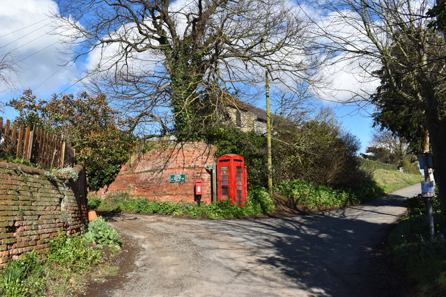
Image: © Simon Mortimer Taken: 10 Mar 2019
Looking north-east at the junction of Church Lane and Oldhall Road in Shotley Church End.
Images are licensed for reuse under creativecommons.org/licenses/by-sa/2.0
Image Location
Latitude
51.977335
Longitude
1.255221