Demolition work along the Grand Union Canal
Introduction
The photograph on this page of Demolition work along the Grand Union Canal by Mat Fascione as part of the Geograph project.
The Geograph project started in 2005 with the aim of publishing, organising and preserving representative images for every square kilometre of Great Britain, Ireland and the Isle of Man.

There are currently over 7.5m images from over 14,400 individuals and you can help contribute to the project by visiting https://www.geograph.org.uk
Demolition work along the Grand Union Canal
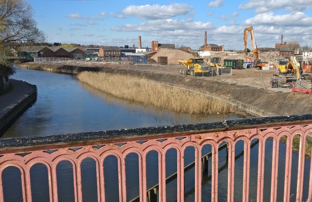
Image: © Mat Fascione Taken: 24 Mar 2019
Viewed from the Soar Lane bridge. Part of the 'Transforming the Waterside' redevelopment of areas along the Grand Union Canal and River Soar in Leicester.
Images are licensed for reuse under creativecommons.org/licenses/by-sa/2.0
Image Location
Latitude
52.638305
Longitude
-1.144349