Lane from Bethel Baptist Church to Pentre-Poeth Road, Bassaleg
Introduction
The photograph on this page of Lane from Bethel Baptist Church to Pentre-Poeth Road, Bassaleg by Jaggery as part of the Geograph project.
The Geograph project started in 2005 with the aim of publishing, organising and preserving representative images for every square kilometre of Great Britain, Ireland and the Isle of Man.

There are currently over 7.5m images from over 14,400 individuals and you can help contribute to the project by visiting https://www.geograph.org.uk
Lane from Bethel Baptist Church to Pentre-Poeth Road, Bassaleg
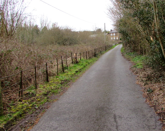
Image: © Jaggery Taken: 20 Mar 2019
The northwest side of the church https://www.geograph.org.uk/photo/6096724 is behind the camera.
Images are licensed for reuse under creativecommons.org/licenses/by-sa/2.0
Image Location
Latitude
51.575589
Longitude
-3.054801