Brightlingsea: The Boating Lake
Introduction
The photograph on this page of Brightlingsea: The Boating Lake by Nigel Cox as part of the Geograph project.
The Geograph project started in 2005 with the aim of publishing, organising and preserving representative images for every square kilometre of Great Britain, Ireland and the Isle of Man.

There are currently over 7.5m images from over 14,400 individuals and you can help contribute to the project by visiting https://www.geograph.org.uk
Brightlingsea: The Boating Lake
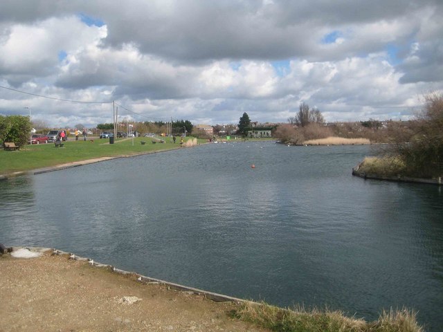
Image: © Nigel Cox Taken: 17 Mar 2019
The photographer thinks that this is used for model boats as well as leisure boats. It is on the south side of Promenade Way. Old large scale Ordnance Survey maps show that this area was once open to tidal inundation and contained numerous oyster pits.
Images are licensed for reuse under creativecommons.org/licenses/by-sa/2.0
Image Location
Latitude
51.80755
Longitude
1.018364