Old Milestone by the A454, Compton Road, Merridale
Introduction
The photograph on this page of Old Milestone by the A454, Compton Road, Merridale by Mike Faherty as part of the Geograph project.
The Geograph project started in 2005 with the aim of publishing, organising and preserving representative images for every square kilometre of Great Britain, Ireland and the Isle of Man.

There are currently over 7.5m images from over 14,400 individuals and you can help contribute to the project by visiting https://www.geograph.org.uk
Old Milestone by the A454, Compton Road, Merridale
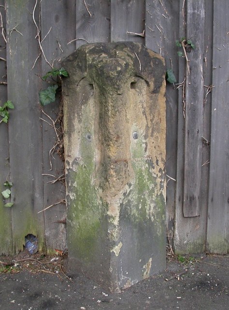
Image: © Mike Faherty Taken: 14 Mar 2008
Stone post (plates lost) by the A454, in parish of Wolverhampton (Wolverhampton District), Merridale, Compton Road, in pavement, on South side of road. Wolverhampton iron plate erected by the Wolverhampton, old district turnpike trust in the 19th century. Inscription plates once read:- : (Bridgnorth / 12½) : : (Wolverhampton / 1) : Wolverhampton and Walsall HER. HER Number: 13716 https://www.heritagegateway.org.uk/Gateway/Results_Single.aspx?uid=MBL5621&resourceID=1025 Milestone Society National ID: ST_WVBN01
Images are licensed for reuse under creativecommons.org/licenses/by-sa/2.0
Image Location
Latitude
52.586549
Longitude
-2.157591